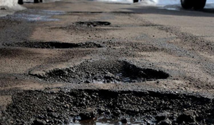
Pot-holes pose a great threat to people travelling on road in our country. Not only do these pot-holes make our journey uncomfortable but also dangerous, especially for people riding two-wheelers. No matter how many times the roads are fixed in our country, they end up with pot-holes of various sizes which make roads unsafe for travelling. To do away with this problem, an Indian start-up has come out with a unique idea. Dipen Babariya, a computer science graduate, along with his colleague Mishaal Jariwala and Industrial Engineering expert Nikhil Prasad Maroli have created an Indian version of Google Maps which detects potholes and cracks on the roads and help people pick a better route. The team have named this – RoadMetrics which detects potholes and cracks on the roads just like Google Maps detect real time traffic. Dipen Babariya described how Google Maps isn’t optimised for Indian conditions yet and he says, “We then realised the need for a map specific to Indian road conditions”.

The team asses images and sensor data from their smartphones for noting down any deformities in a route and an AI algorithm classifies the pothole in a category-cracks, vertical, horizontal, alligator etc. with respect to the data available. Mishaal Jariwala, another member of the team says “We detect 12 types of road defects. The AI/ML algorithm has been trained with over 100,000 image data points in two different cities, and this has enabled us to achieve a high accuracy rate of over 90%. We also collect sensor data (accelerometer and gyroscope) for further validation and this ensures that our accuracy increases”. The RoadMetrics App will be available in two variants - mobile and enterprise; and the roads will be colour coded according to their condition ranging from Green which means a smooth ride, to Red being the worst of the lot. The trio is currently carrying out a pilot project using this technology in collaboration with Surat Municipal Corporation.
 বাংলায় পড়ুন


