 বাংলায় পড়ুন

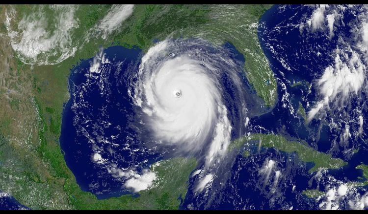
Bengal might once again face a storm. A strong depression will likely form in the Bay of Bengal on Monday, which could intensify and move towards the Odisha-Bengal coast. The meteorological department has announced that the upcoming storm will be named 'Dana.'
It has been reported that a cyclonic circulation has formed over the North Andaman Sea. This circulation will turn into a depression on Monday over the North Andaman Sea and the East-Central Bay of Bengal. It could intensify into a deep depression in the Central Bay of Bengal by Tuesday. As a result, it may develop into a cyclone in the Central Bay of Bengal and the adjoining North-West Bay of Bengal by Wednesday. There is a possibility that it will gain strength and make landfall. Meteorologists predict that wind speeds in the North-West Bay of Bengal could reach 120 km/h, with a maximum of 135 km/h by Thursday.
The impact of this weather change will be felt in coastal districts starting on Tuesday. On Wednesday, heavy rain warnings were issued for East and West Midnapore and North and South 24 Parganas. Additionally, Kolkata, Howrah, Hooghly, Jhargram, and North 24 Parganas could also experience heavy rainfall on Thursday, and heavy rain alerts were issued for South 24 Parganas and East and West Midnapore.


