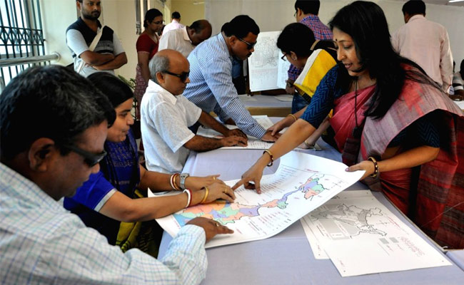
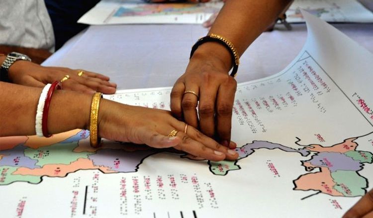
It is every person’s right to know about the world, we get this basic knowledge from the books we learn at our schools and colleges. Books help us to discover several facts and places around us. One important lesson we were taught at school was to read a map or atlas. Not all of us are lucky enough to get this privilege as some are visually impaired which makes their life more difficult than ours. They too deserve to learn like any other person. Thanks to Braille they are able to gain knowledge but studying atlas and maps were still out of the reach till two years back. The National Atlas & Thematic Mapping Organisation (NATMO) introduced tactile atlas in English for visually impaired for the first time. Now, NATMO has relaunched the atlas and a West Bengal’s map in Bengali Braille script for the visually disabled students.

A workshop was held on Tuesday which was attended by teachers from around 36 schools from 18 districts of the state including Kolkata. they discussed how they can use the new map and atlas to teach the students; as it will help the students to learn about both India and West Bengal’s layout efficiently.
Schools for the visually impaired organize quiz on geography since the maps were introduced. The quiz has gained quite a popularity among the students. Several quiz contests were in in 2017 and 2018. Red and black color has been used for the dots and patterns for the India atlas for the students with low vision. It was the idea of Dipankar Mondal a teacher of the Ramakrishna Mission Blind Boys Academy. He says,
“this will explain the different regions of the country and its features better”.
The map of West Bengal is in color. Everybody who attended the workshop really appreciated the initiative as this will hopefully increase the number of visually challenged students in schools.
 বাংলায় পড়ুন


